The Maah Daah Hey Trail
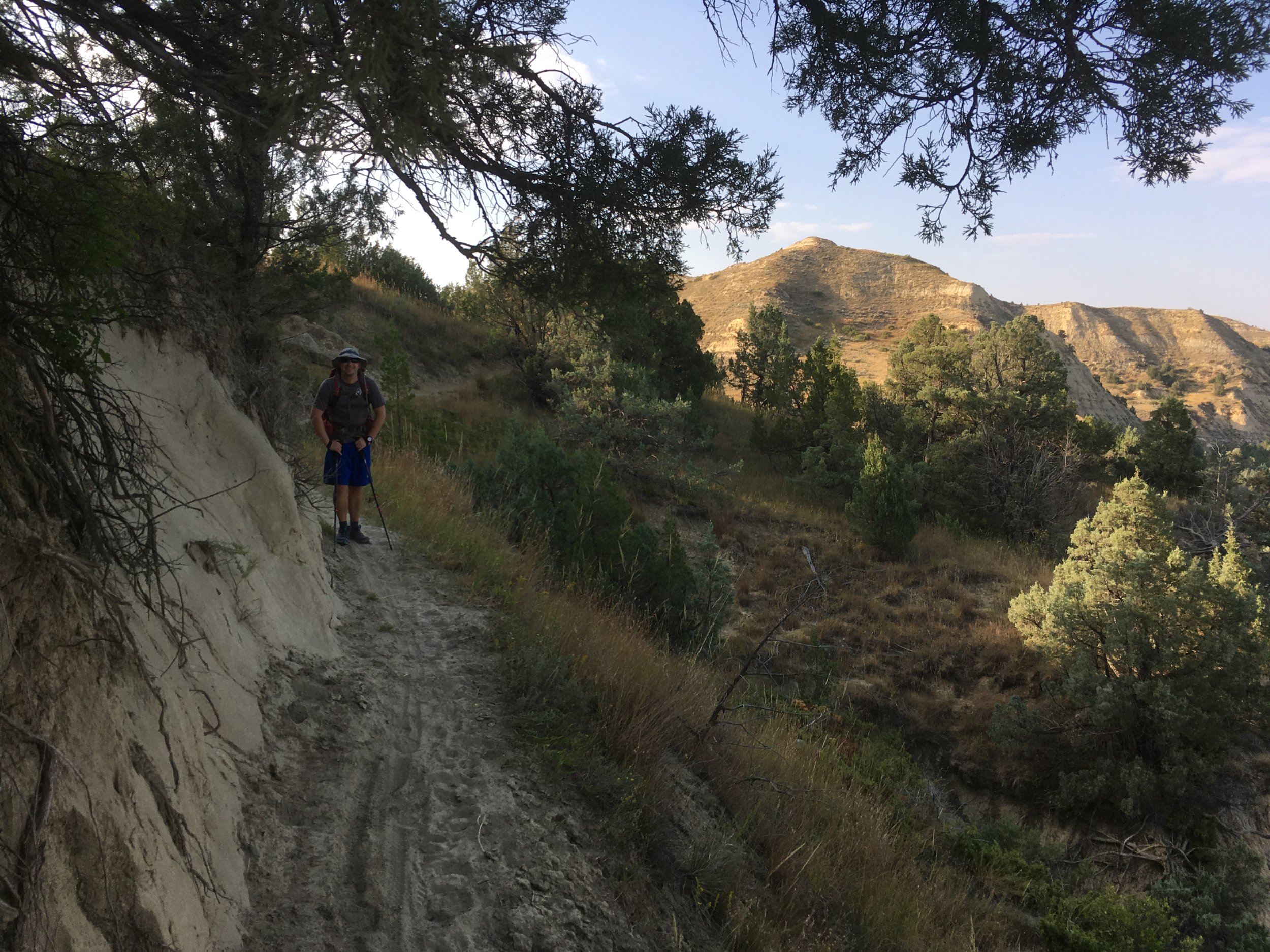
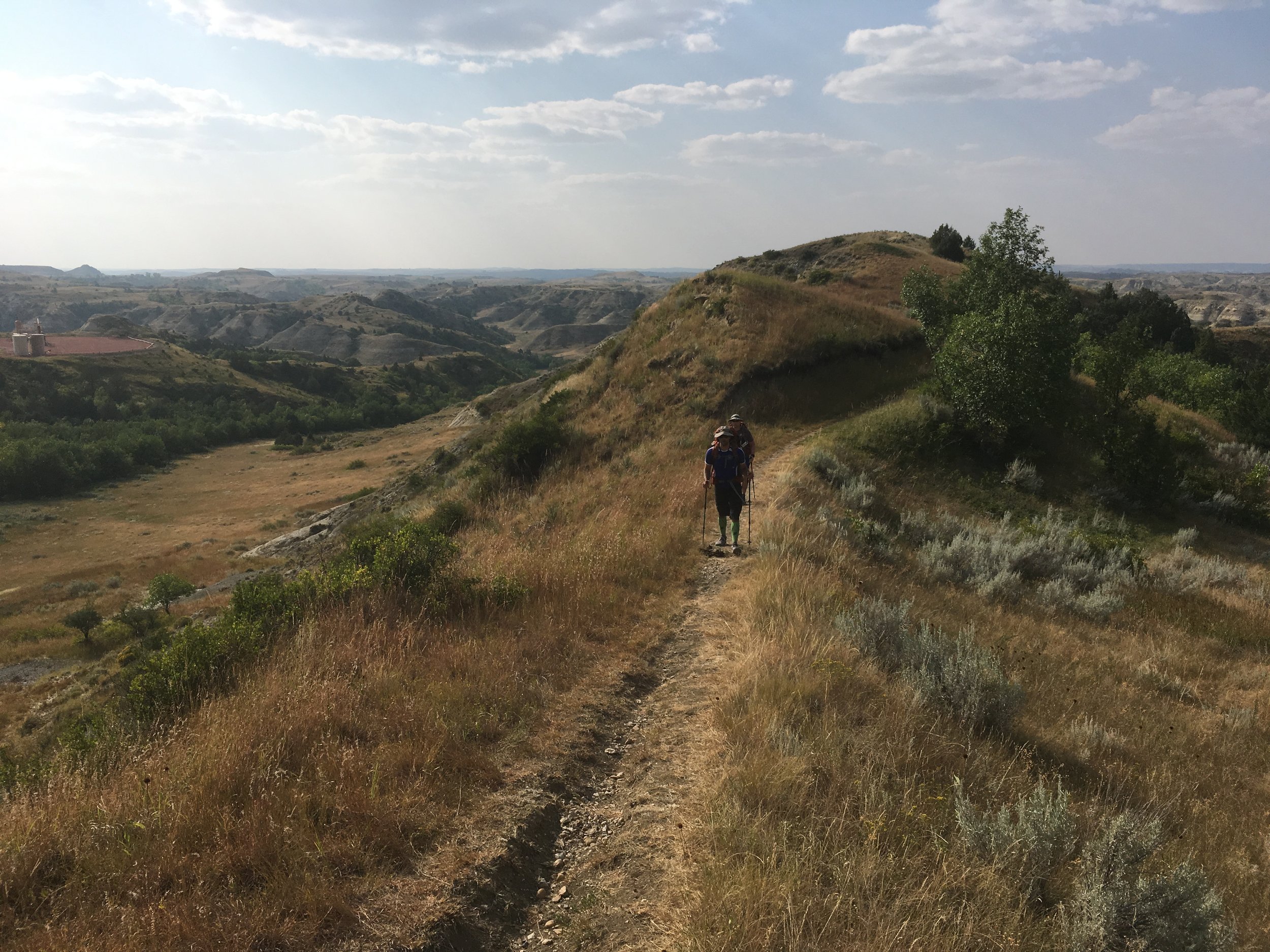
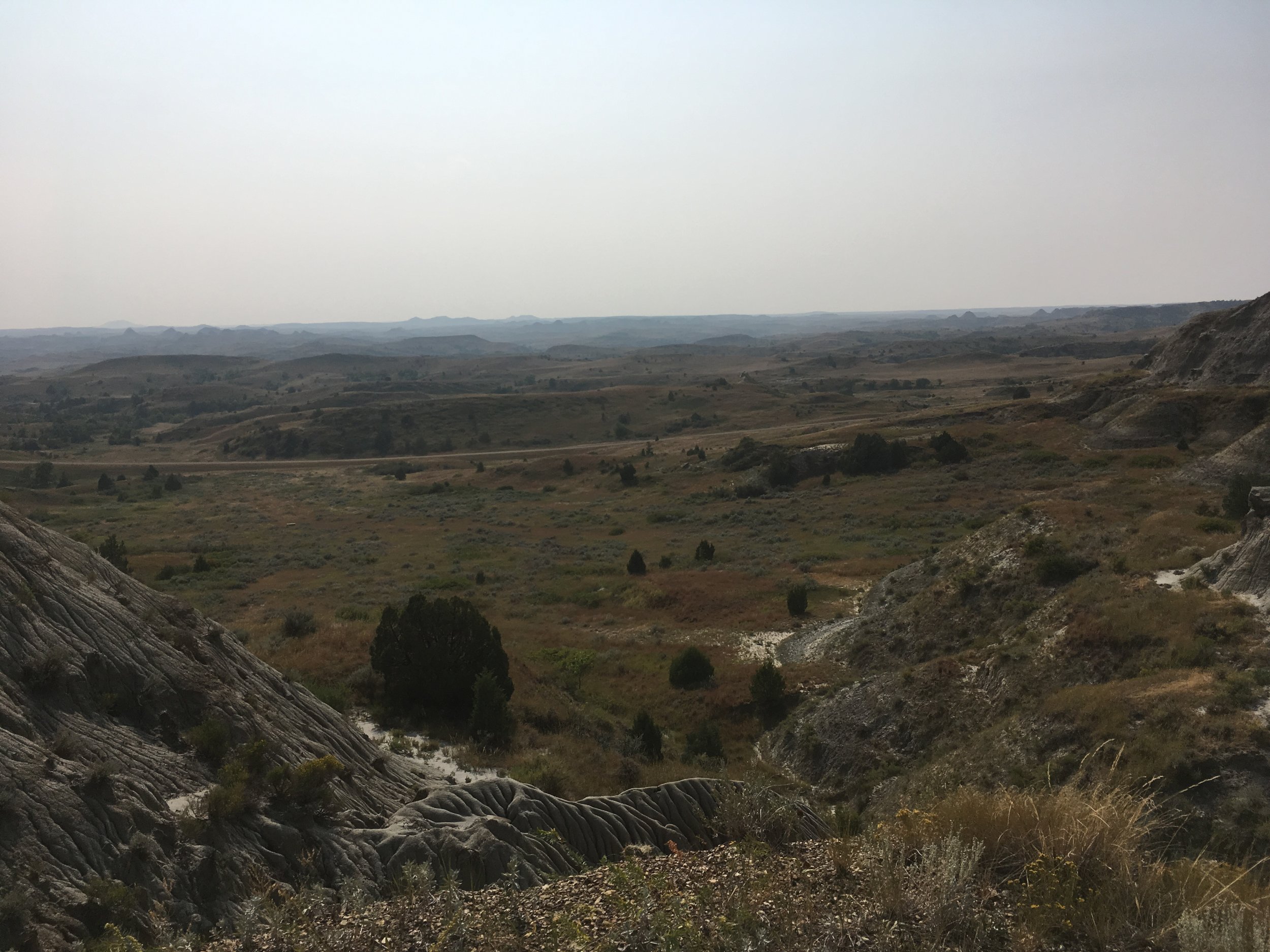
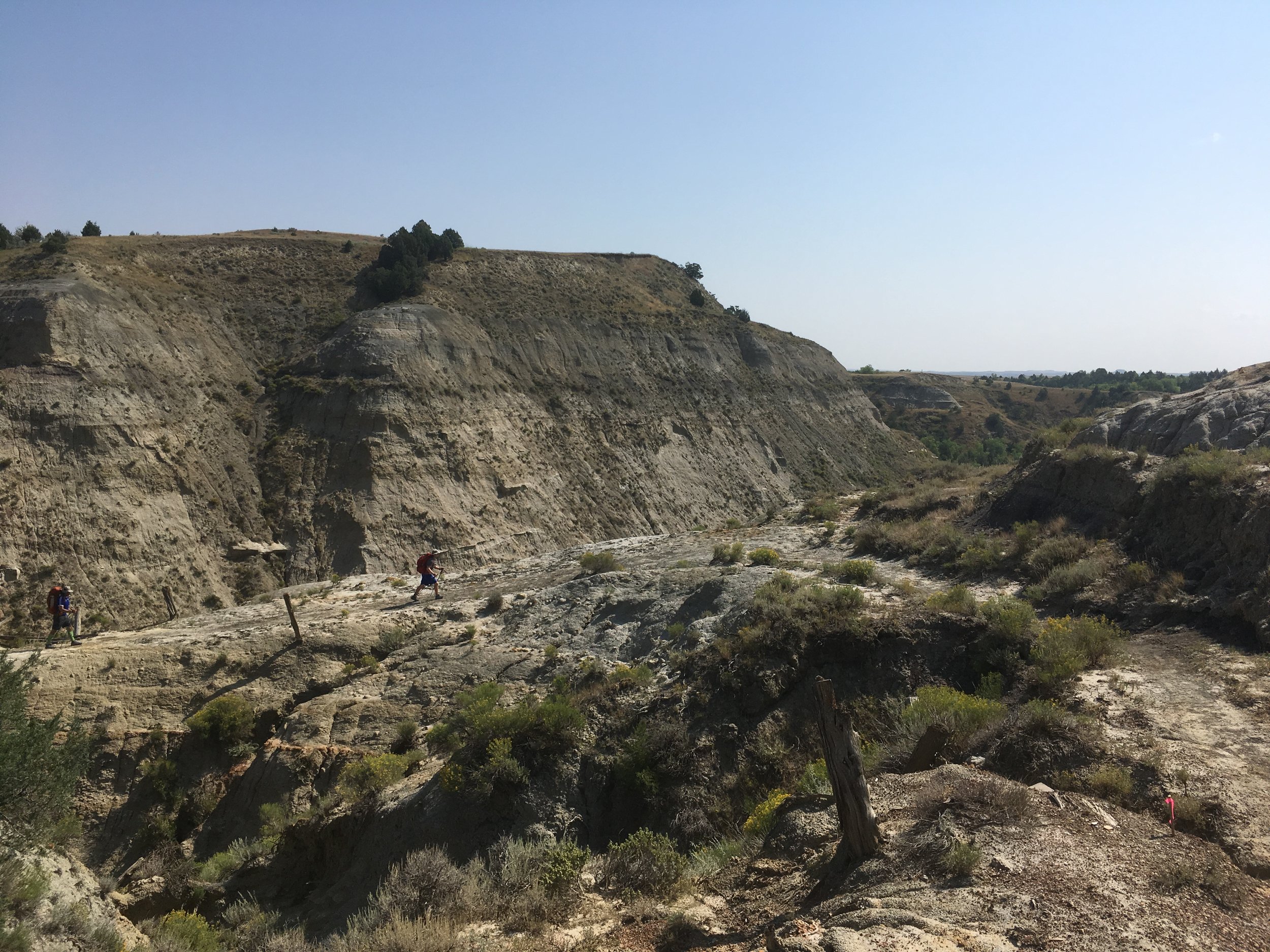
Taken on Day 2, you can see The Maah Daah Hey Trail wind through the valley.
The Maah Daah Hey Trail
North Dakota Badlands
Hey all, just wanted to post a quick review/brief guide for a thru hike that I did with a group of friends in August of 2018. There's not a ton of information for the experience online, so I wanted to help others that are in the same boat as me. It is touted as North Dakota’s best kept secret, and I can’t help but agree.
The Maah Daah Hey trail is a rugged trail through the Badlands of North Dakota that proved quite the test for our group of fairly experienced hikers. Of the 4 of us that started, only 2 of us finished the entire trail, but we were grateful for the resulting support that they provided. The views were incredible and the feeling of solitude and separation from the world was glorious. I won’t speak for the preparedness of my companions, but I did mostly running and stairmaster workouts where my runs were typically in the 6-7mi range and then I’d stairmaster for about 30 minutes.
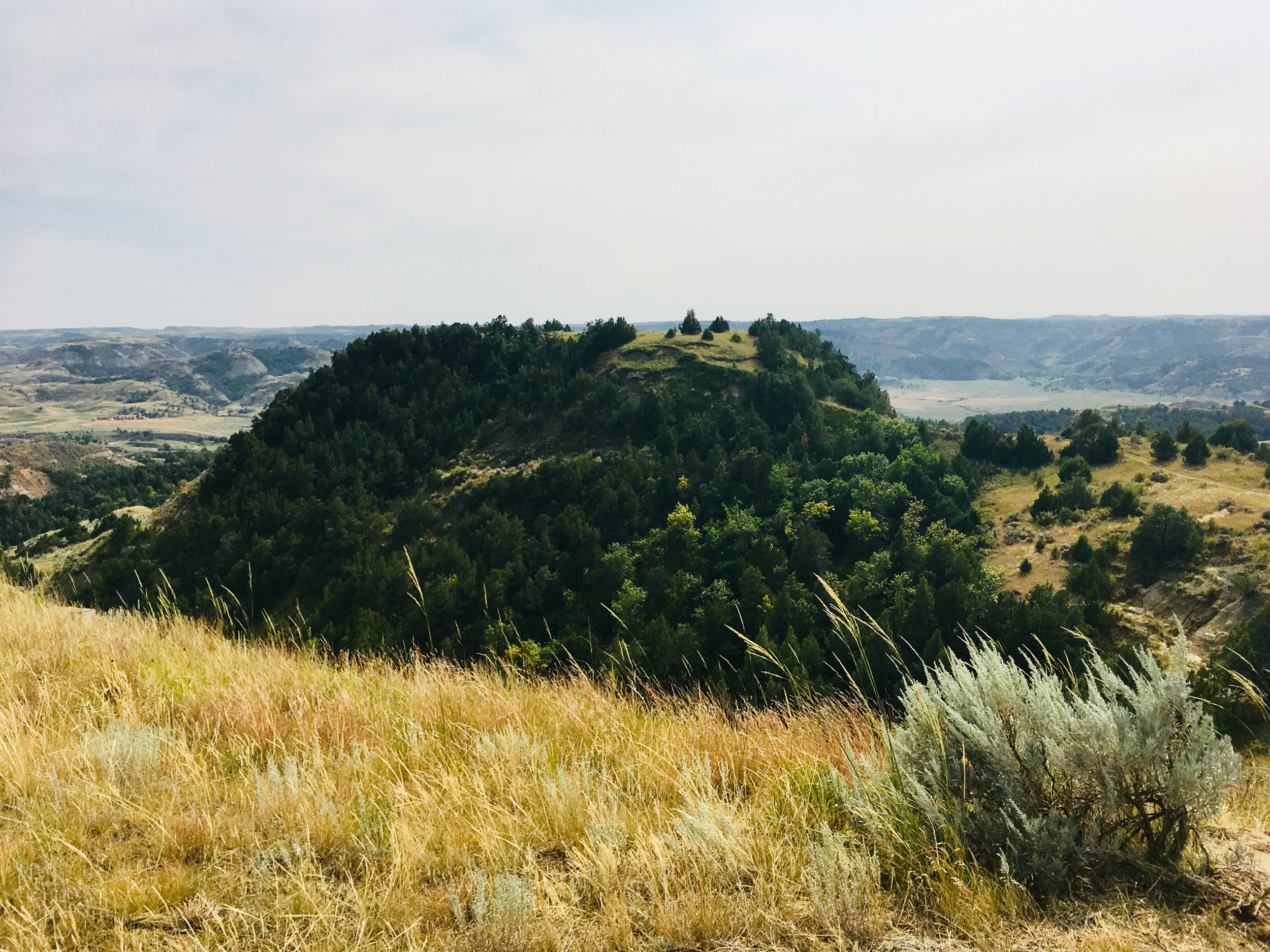
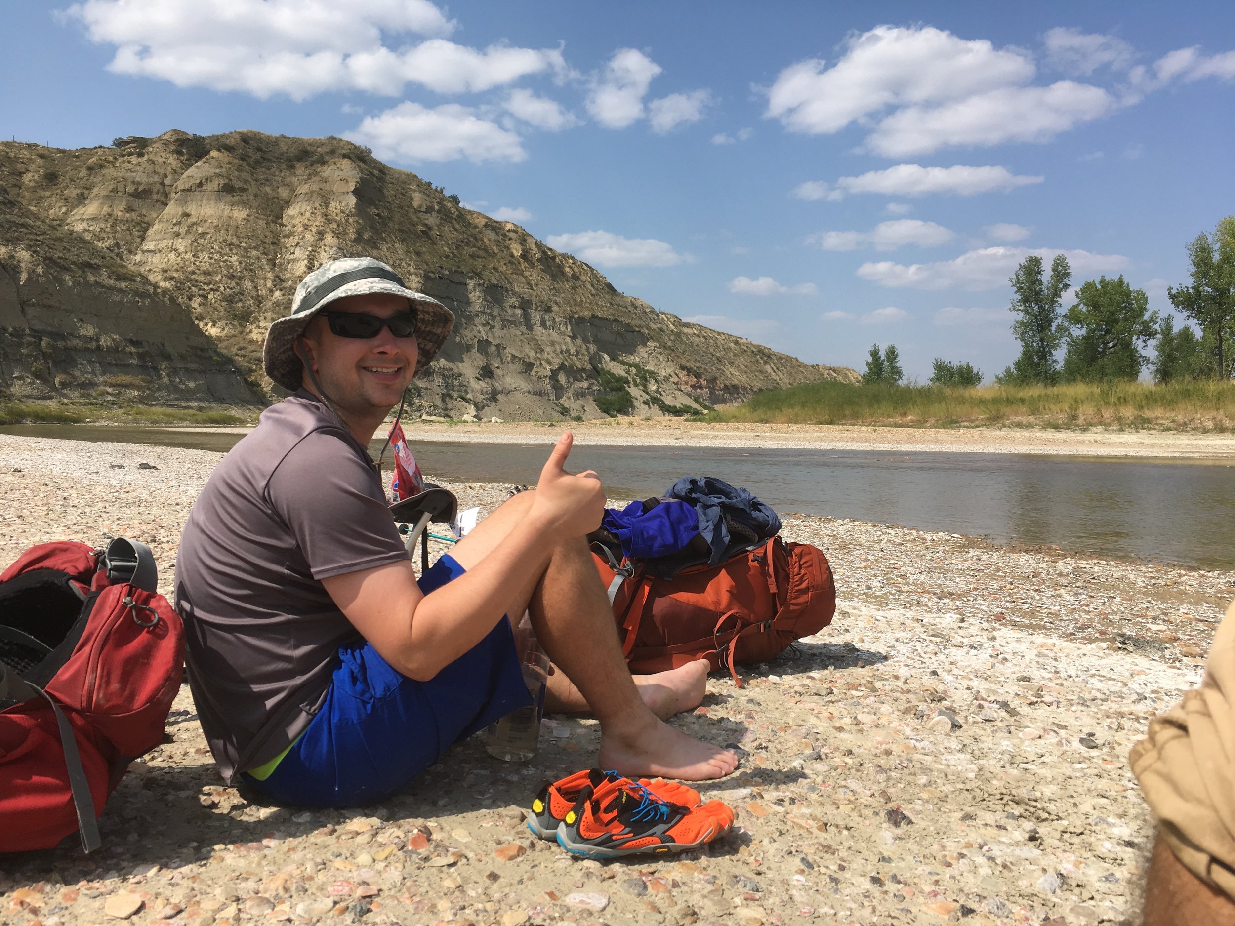
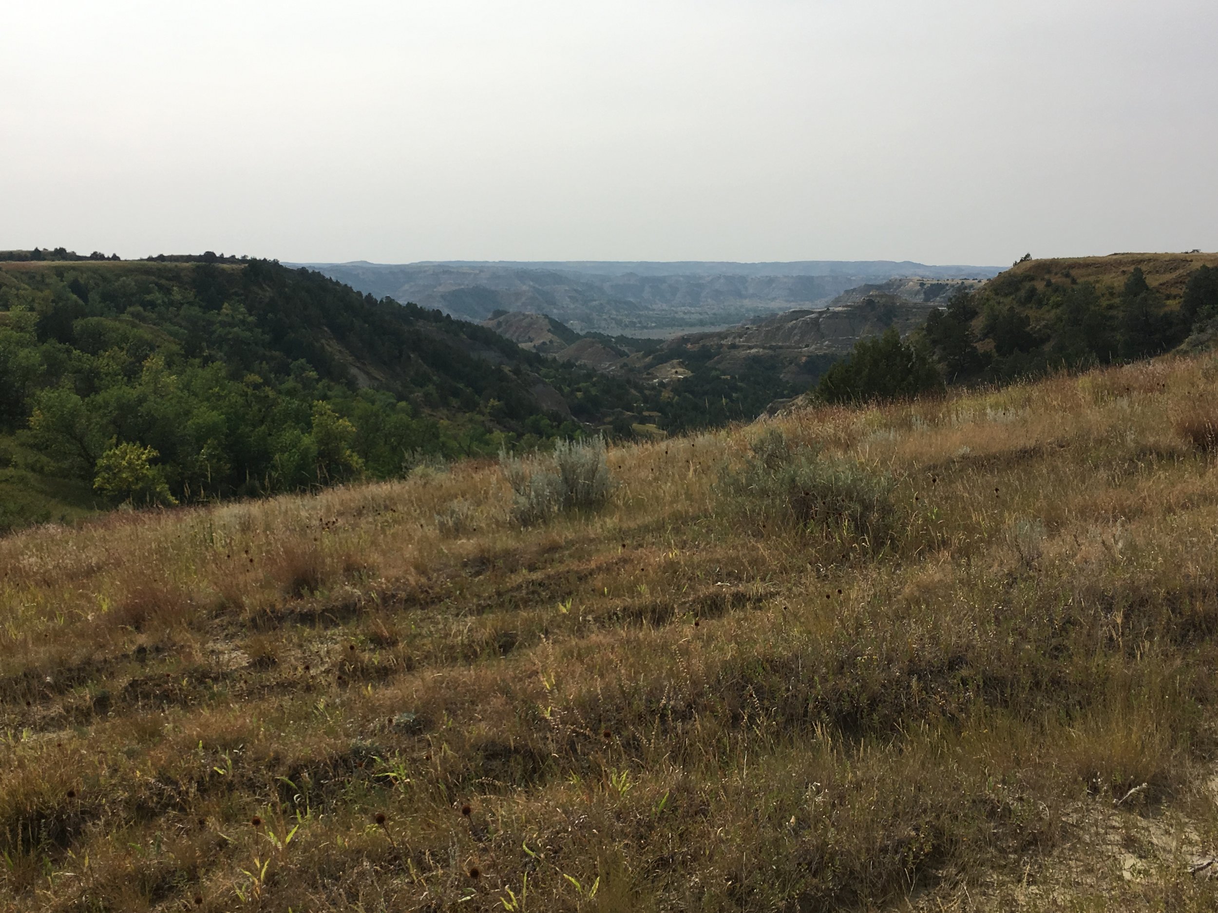
You can see the North Platte River just beyond the trees. Views like this were normal throughout the hike.
Trail Conditions
We drove from Minot on Saturday (where one of my friends lives) to the Trail Head. We camped the first night at the campsites which have pull-ins for cars and plenty of flat grass for pitching tents. We would depart Sunday morning excited for the next week. 2 tents for 4 people in mid-late August should normally be plenty to stay warm throughout the night, but none of us anticipated how little heat the ground would retain. I didn’t bring a sleeping bag based on the weather (100 degrees each day) for the week before. That was a mistake. Even a sleeping bag liner and all of my clothes layered on was not enough. I ended up sharing a sleeping bag with a buddy who was shivering in it and unable to sleep too (45 or less degrees at night). Yes, we spooned. It was absolutely necessary. We averaged over 20 miles per day on the trail and there was no supplemental water along the way. We all had roughly 30lb packs for the trip plus at least 4-5L of water. We hiked nearly all of the daylight hours during the day, arriving by evening with just enough time to scrounge wood for a fire in the in-ground pits at the parking sites. This trail was designed as a MTB trail from what we could tell, but thru-hiking is absolutely possible, just not pleasant for most, mostly because of the lack of water and distances between campsites. We averaged 2-3mph on the trail, obviously less when on switchbacks, etc. The trail was solid and grippy when dry, but when wet would prove to be very difficult and unpredictable depending on the type of rock/dust composition. We also never encountered a soul on the trail. We crossed a couple oil-boom roads and some unattended oil derricks, but other than that, it was only park rangers and the odd overnight car campers (not hiking) that we ever saw aside from each other. The portions of the trail maintained by the trail association were incredible and pristine, meaning that “leaving no trace” was easily accomplished. There were a few creeks to cross, almost all of which were dry, but even the “wet” ones were full of absolutely stagnant water which wasn’t suitable for filtering. I brought flip flops for crossing to prevent my shoes and socks from getting wet.
Water… Worth Mentioning
“We would have been in pretty terrible luck if there hadn’t been water at the next stop. ”
Note about water: The wells at the campsites were all in good condition while we went through and they’re tested by park rangers daily. If the water doesn’t meet quality standards, then they remove the pump handle. We would have been in pretty terrible luck if there hadn’t been water at the next stop. At that point we probably would have had to filter water from a cow trough along the way. Technically it is always a gamble. We “cameled” water every night, chugging gallons so that we could hike comfortably on 3-4L during the day. I always tried to end the day’s hike with a liter of water just in case we were stranded without water. While there are some waterboxes along the way, we were never desperate enough to use one.
So It Begins: 19 August 2018
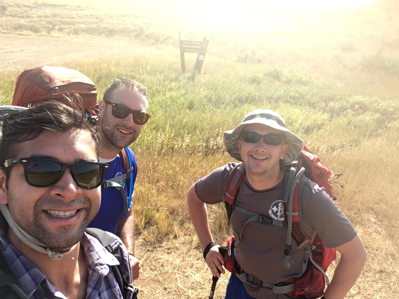
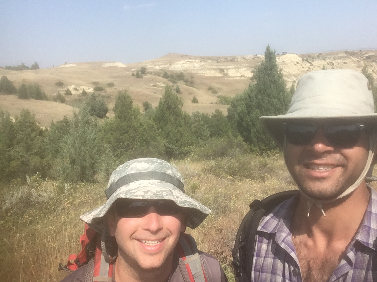
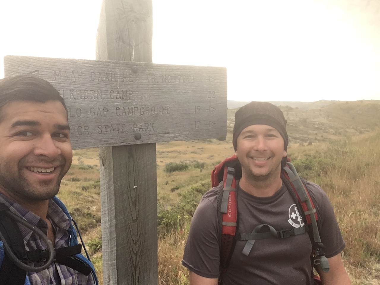
Selfie on the trail. Well maintained single-track… almost the whole way.
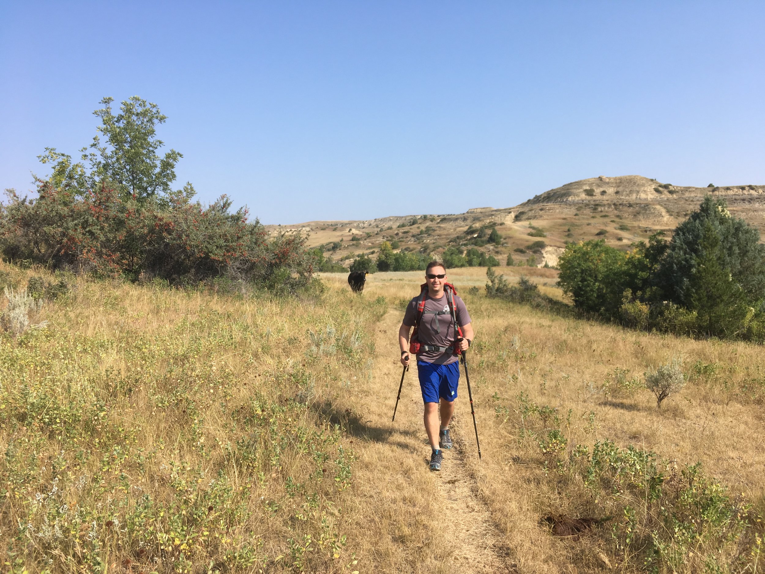
Day 1 (Sunday): Breakfast for us pretty much every day was a Clif Bar or two and coffee. We hiked nearly all day and the temps were great, in the 70’s the whole hike… during the day. After a full day of SOBO we got to the campsite and checked for blisters, ticks, etc… Blisters were pretty bad for one of us, which developed even worse than she expected. Every couple of hours we would stop and take a 20-30 minute break. I always ate a Clif bar and laid down/napped, as sitting would cause my muscles and joints to tighten. Lunch was never really a formal stop and cook type of deal, but maybe just a slightly longer break. Dinner was when we went all out on calories and chugging water.
Day 2 (Monday): The blisters added up to at least 40% of her soles by surface area when all was said and done. This happened to a reasonably experienced hiker, who pushed silently through a lot of pain to reach the end. Merino socks, moleskin, and worn-in boots didn’t seem to matter for some reason. She had to drop out after day two. We called our pre-arranged ride to pick her up the next morning and then she would be driven back to our car at the first campsite on day three and meet up with us later. Additionally, the cell service was non-existent for almost the entire hike. On top of the plateaus there was maybe a bar of cell service or just enough for a quick phone call, but in an emergency situation, chances are that you’d be completely out of luck. During Day 2 we went through Teddy Roosevelt State Park (North) and the trails were terrible. The markers were nearly all rotted and/or collapsed and there were confusing and poorly marked spurs. I was really disappointed in the State Park, and we would later encounter the same thing on the final day of hiking in Teddy Roosevelt State Park (South) on Day 5. This was the longest day of hiking, coming in at just about 28 miles according to my Garmin GPS watch. We were all using our headlamps to follow the trail to our campsite for the last 1.5 hours or so, which never seemed to get any closer the longer we hiked.
Day 3 (Tuesday): Everyone (except me for some reason which I’ll never understand) had some sort of joint/muscle pain. One of the guys started the day with some minor ankle pain, but decided to continue on. About halfway through we had to start stopping more frequently for him to rest. It added some extra time, but all three did eventually finish that day’s hike. When we arrived at the campsite, our blistery friend had returned with beer and supplies. The edema in my friend’s ankles was awful. The skin was puffy and super swollen on both legs. I think he got through the day by sheer determination, despite what had to be enormous pain. One of the nice things on this hike is that the inclines are typically all in one go and then you walk flat on a plateau for 1-2 miles, followed by a descent, and walk flat in a valley for a while.
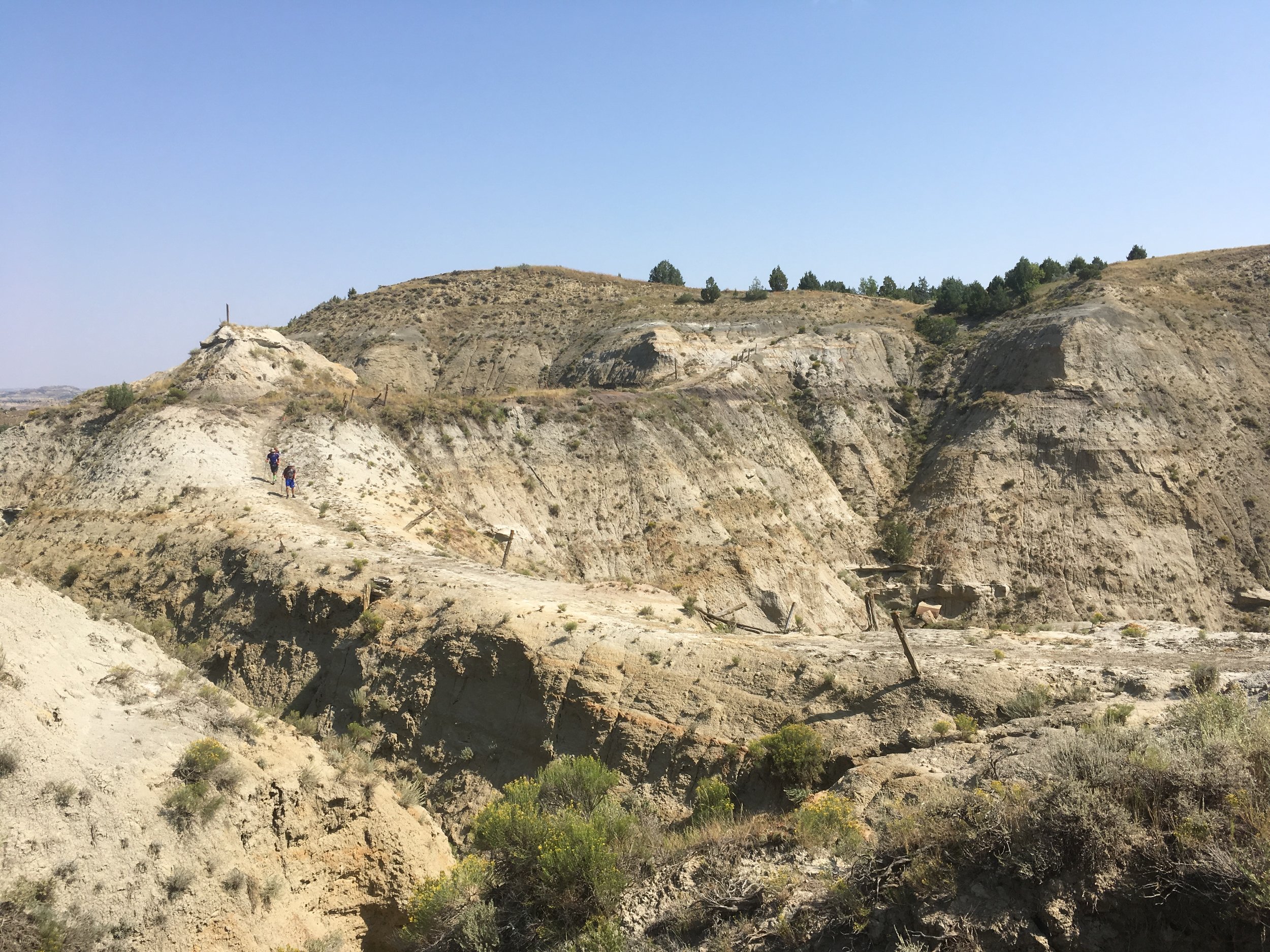
Natural bridge called “The Devil’s Backbone” from Day 3. What a view!
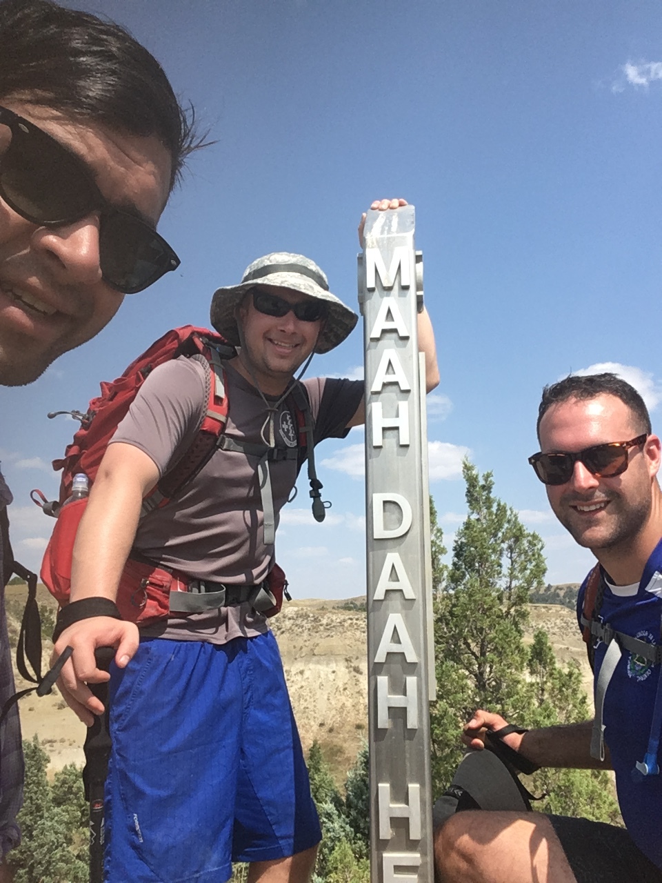
Also from Day 3, we reached the halfway mark. Kissed the post, and then continued on.
Day 4 (Wednesday): And then there were 2. We left our tents and unnecessary gear with the 2 members that needed to take care of their feet, so we blitzed the trail and averaged just over 3mph the whole 18 miles. There really wasn’t a lot to say for this day. The views were incredible and the hiking was pretty much perfect. We didn’t run into any animals aside from cattle. There are cattle EVERYWHERE (throughout the hike) and their poop is everywhere too. For the most part there weren’t too many insects like mosquitoes, but there were flies… which makes sense given the number of cattle.
Storms rolling in on Day 5. Talk about terrifying.
Day 5: The final day proved to be the hardest out of them all, despite having the shortest distance. One of the few times that we had cell service, we checked the weather. It was looking like Thursday would be stormy, and it certainly ended up that way. I’m a Chicago native, so I’m accustomed to Midwest storms that come from nowhere. Approximately 30 minutes after leaving the campgrounds with understanding that it would rain eventually, we began to hear thunder. We assumed it would be hours off, and as we began to climb to the top of the biggest/widest/longest plateau of the entire hike, we could see that the BLACK clouds were rapidly rolling in. As we neared the top of the plateau, we donned our rain protection, which ultimately didn’t do much for either of us because the rain started coming down really hard and sideways. We felt the temperature drop almost immediately about 20 degrees, and this was then when the lightning started… and we were surely the tallest object for miles in any direction. As we quickened our pace, the trail got more and more bogged down and slick. Trail poles were immensely useful. With the lightning less than 10 miles away we ducked down into a little ravine and hid under some trees. Over 1.5hrs of misery standing in mud and rain, waiting for wave after wave of black clouds to pass. We would try to clamber back up to the trail and hike another mile or two between the waves of clouds, but would be chased back into a new ravine. The decline from this plateau in Teddy Roosevelt State Park (South) was so washed out and slippery. It took me nearly 30 minutes to descend 500’. The trails in the park were so poorly marked and drained so terribly, but we wanted to get as low as possible as quickly as possible so we trudged on. The trails were standing water, sometimes 6” deep, and because there is no grass cutout in the state park, we were stepping on the small patches of firm ground next to the scrub that grew around it. I started to develop stiffness in my right knee from being locked in a leg/foot position for so long as we continued to descend. This was the only time I ended up taking painkillers on the hike because of the joint/muscle pain, though fortunately there was no swelling.
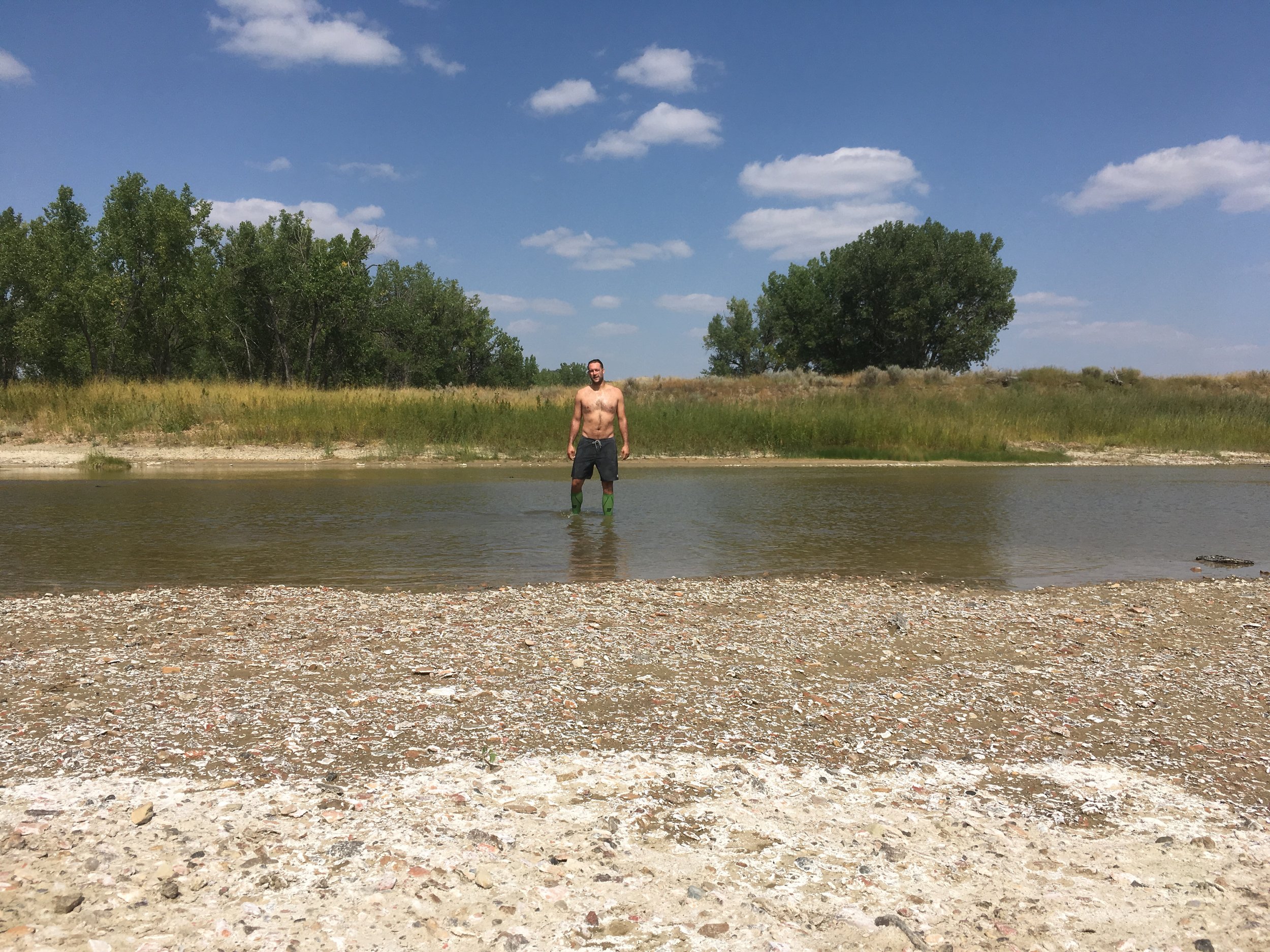
We finally made it out of the soggy Park and onto good trails… for my buddy to drag me along to the end, limping due to my knee pain. We ended the hike with a fording of the North Platte River, which was absolutely the best way to end the journey. We spent the next two nights in downtown Medora (which is a tourist trap if I ever saw one, a quaint one at that though) and after a DEEP night’s sleep drove back in his car to Minot to enjoy all the craft beer that summertime in North Dakota had to offer before flying back to our homes all over the country.
What I learned on this hike:
Snacking throughout the day is the way to go. Camping food is fibrous though, as two of us were pretty “stopped up” for the first few days. Late night poops were long and strenuous.
I brought Body Glide. Everyone ended up using it at some point. It is that necessary.
I wish I’d brought a chair. It is worth the weight.
While it is absolutely possible to use a normal backpack (Patagonia Chacabuco 32L) for a week-long hike, It was uncomfortable around day 3/5 onward.
Hiking poles are a must, whether there’s rain, or just as knee relief going down steep trails.
Trail running shoes are just fine, even on rugged terrain over some pretty arduous climbs.
Headlights with red LEDs are great for around the dinner table and fire so nobody gets temporarily blinded.
I learned how little I needed to make hiking tolerable for me, which is reassuring for our group’s next endeavor… section hiking the Appalachian Trail NOBO.
As a group we ended up with too much food, but this a problem that I’m really alright with having.
I brought a hammock. Never used it. There really aren’t a lot of trees out there.
10.5 Accordingly, there isn’t a lot of fire wood either. I would assemble a large pile of sagebrush and what small branches I could find near the campsite just to get 1.5 hours of warmth and cheer. I’ll have a Solo Stove for my future adventures.
TL;DR (Too Long; Didn’t Read)
Overall this is not a hike that I would ever attempt by myself due to the absolute lack of water and cell service. With the right group the hike is pleasant and I while I wouldn’t do it year after successive year, I would be happy to hike it again some time in the future, since they’re adding approximately 50 miles on to the (current) end past Medora. The Maah Daah Hey is remote, primitive, rugged, and just difficult enough to prove your mettle. I think I prepared for the hike adequately and I’m proud of my accomplishment. Hope this was helpful for someone!

